CATANIA, SICILY 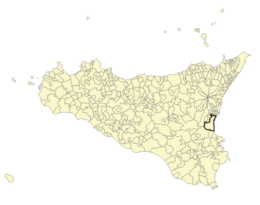
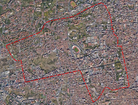
The NATSOLIS case study is an area of almost 390 hectares, identified to be representative in terms of different residential density, urban morphologies, land-use and land-cover characteristics, including settlements with various building types and not urbanized areas spanning from green public spaces (pocket parks/squares) and residual undeveloped municipal areas to residual undeveloped private areas and residual and mainly abandoned private agricultural areas.
Catania forms Sicily’s largest metropolitan area that has expanded beyond its administrative boundaries, assimilating former rural and fishing settlements and erasing natural and agricultural landscapes. This has produced extensive sprawl and a heterogeneous urban fabric, with consequent high soil sealing, increased runoff, and overloaded drainage systems, perpetuating unsustainable stormwater management and the occurance of severe surface and pluvial flooding.
The city is characterized by a temperate climate, typified by warm and humid summers and moderately cool, wet winters. The determining factors in the formation of its urban microclimate are the absorption coefficient of the surfaces, the presence of vegetation, and the density of the inhabited centre. At the same time, having replaced natural groundcover with concrete, infrastructure, and commercial and artisanal activities has resulted in the elimination of natural cooling effect, exacerbating the urban heat island phenomenon.
Public and green spaces remain scarce and unevenly distributed. Central districts possess negligible greenery. In the rest of the city, it varies considerably, being the values per capita heavily influenced by a few existing public parks. Existing gardens follow formal academic design principles and are typically isolated within squares or dense urban blocks, resulting in a fragmented green network that disregards green-infrastructure and ecosystem-service approaches to spatial planning.